How Historical Maps Help Children Understand the Past
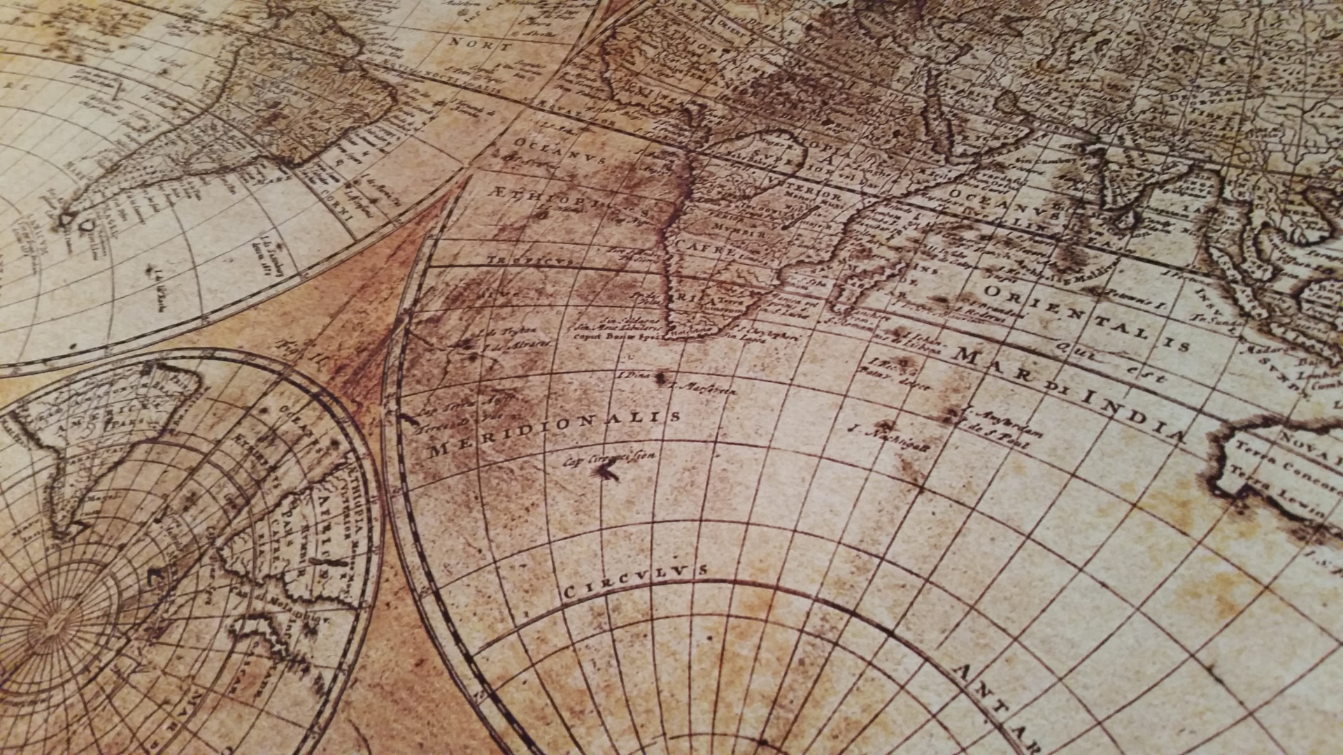
It is often said that history and geography are two sides of the same coin. You simply cannot truly understand why events happened in the past unless you understand where they happened. Without a firm grasp of geography, historical events seem to occur in a vacuum. This is why historical maps are one of the most powerful, yet frequently underutilized, tools in the homeschool classroom.
Visualizing the "Why" Behind Major Events
Why did ancient Egyptian civilization sprout up exclusively along a narrow strip of land surrounding the Nile? Why did Great Britain rely so heavily on its navy to project global power? Why did the mountainous terrain of Greece lead to fiercely independent city-states rather than a single unified empire?
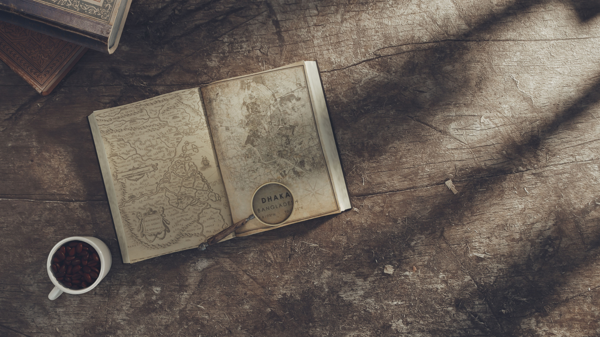
The answers to all of these questions are written directly on the landscape. When a child looks at a physical topographical map, historical motivations instantly make sense. They see that mountains form natural barriers, rivers act as ancient superhighways, and coastlines dictate trade and warfare.
Tracking the Living Nature of Borders
Children often look at modern world maps and assume those lines have always existed. Historical maps shatter this illusion.
Comparing a map of Europe from the spring of 1914 to a map from 1920 tells a profound, tragic story of political collapse, imperial ruin, and human conflict without saying a single word. It teaches children that borders are fluid, dynamic lines drawn by human choices, treaties, and conflicts—and that the world we live in today is the result of continuous historical change.
Making Abstract Concepts Tangible
When history is confined entirely to text, it remains abstract. Maps ground the story in physical reality.
When your child can physically trace the treacherous path of Hannibal’s elephants crossing the icy Alps, follow the complex routes of the Underground Railroad, or track the massive scale of the Lewis and Clark expedition with their finger, history stops being words on a page. It becomes a real, physical event that occurred on the very same earth they walk on today.
Practical Tips for Integrating Maps at Home
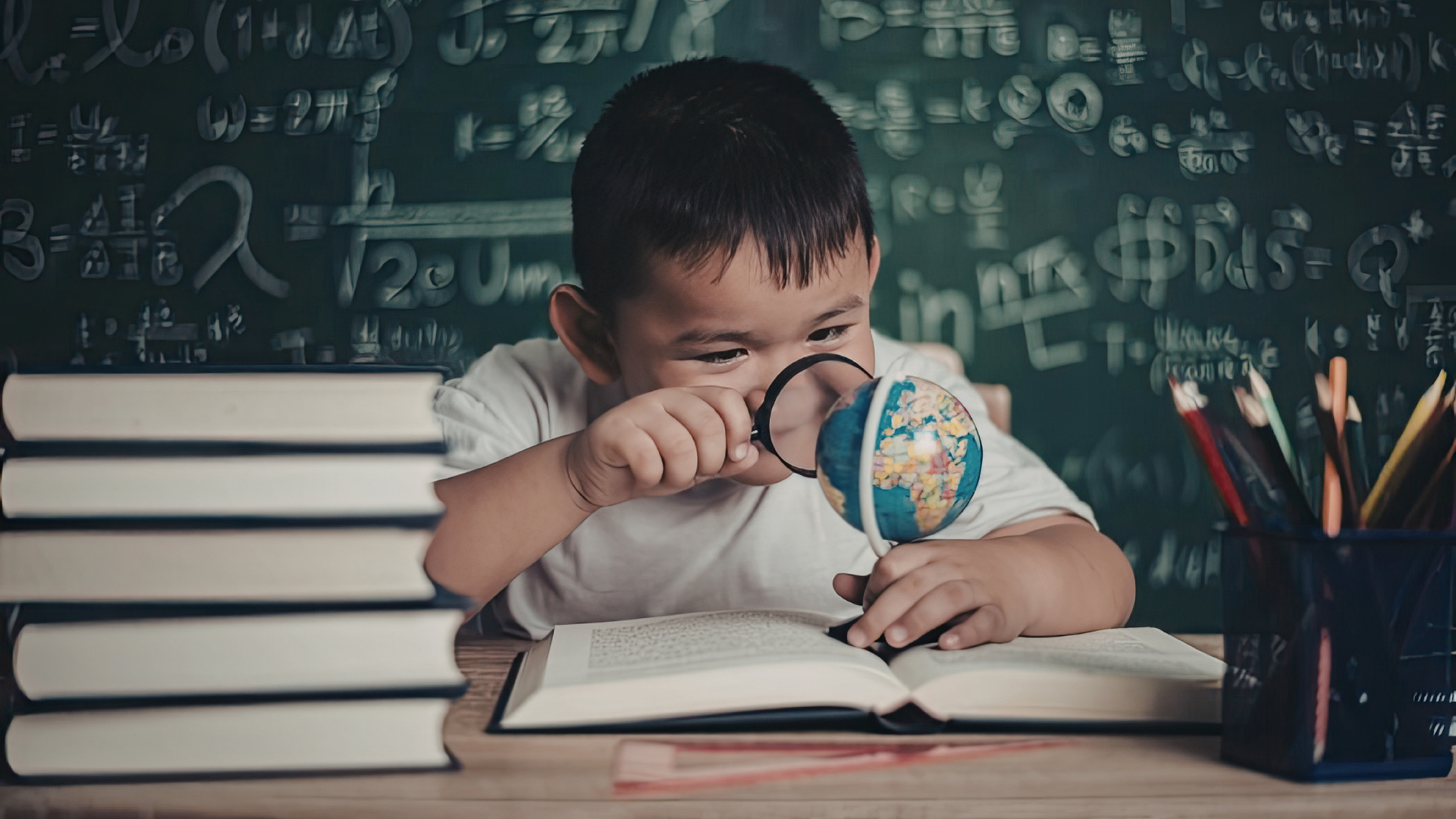
- The Standby Globe: Keep a globe directly on your school table. Every single time a country, city, or river is mentioned during a read-aloud, pause and have your child find it.
- Map Blanking: Use free online resources to print out blank outline maps of the region you are studying. Let your children color in empires as they grow, label major battles, and draw in mountain ranges.
- Map the Character's Journey: If you are reading a piece of historical fiction, print out a map of the region and map out the main character’s travels chapter by chapter using a colored marker.
By anchoring your history lessons in geography, you help your child build a permanent, accurate mental map of the world that will serve them across all subjects for a lifetime.